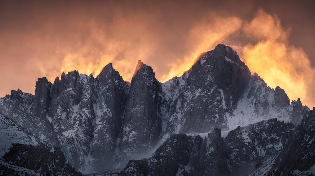
I was with my college friends and their families relaxing when one of the guys mentioned that he had managed to get permits to hike Mt. Whitney in about a month and a half. Fortunately(?) the people he was going to go with backed out so he asked us if we wanted to join him. After learning that Mt. Whitney is indeed the tallest mountain in the lower 48 and that it actually is hikable and not getting too far into the realm of mountaineering, I enthusiastically said, yes!
A brief primer on Mt. Whitney
Mt. Whitney is located in the Sierra Nevada mountain range in California. It is the highest point in the contiguous US at 14,505ft. It used to be measured at 14,494ft and you still see that on a lot of souveniers and apparently some of the plaques at the summit. However we have more accurately estimated the oblateness of the Earth since that time and have updated the measurement.
The eastern face of the mountain is very steep and so hikers approach the summit up the western face. The easiest trail that leads to the summit is the Mt. Whitney Trail! This trail was created by the fine folks of Lone Pine, CA, whose residents were the first to reach the summit in 1873 (during a fishing trip?!) The trail was completed in 1904 and four days after opening a hiker was struck and killed by lightning while eating lunch at the summit. Because of this the team that designed the trail built a little house just a few feet from the summit. But hiding in the shelter does not make one safe from lightning.
The Mt. Whitney Trail
The trail starts at Whitney Portal and basically is a steady climb to the summit. The trail is just over 11 miles long and has an elevarion gain of over 6,100ft. There are two small deviations in that climb, one near Outpost Camp and one just after Trail Crest. Otherwise it is basically 555ft up every mile.
The most concerning dangers are lightning and altitude sickness. To minimize the risk of the first you need to be extremely careful about the weather as well as avoid the summit in the afternoon. The second is going to be a struggle for me based on my experiences in the Rockies and Quito, Ecuador…
There are two types of permits you can get to hike the trail. A multiday pass or a single day pass. Those that get the coveted multiday pass can camp at the established campsites on the trail and take their time. Those of us that have the day pass get to make the full 22 miles in one day. And be off the summit before noon. That means hikes typically start around 1-2am.
The Plan
So now I need to figure out how to actually execute this trip. The distance doesn’t bother me, I’ve done longer multiple times and I did 20 mi just last year. I am not convinced that I can make that climb though. I did Yosemite’s Mist Trail in my mid-20s which is much steeper but only 2 miles long. This is a different beast all together and I am certainly not young anymore! My other concern is the altitude. I need to make sure to have as much time to aclimate as possible as well as being loaded to the gills with Diamox. My gear should be in reasonable shape (biggest missing piece is a satellite communicator which my wife really wants me to take).
Next steps. Research the trail and other climbers’ experiences, develop a training plan, develop a plan to acclimitize. Should be fun, it’s been a while since I’ve planned an expedition!
The image above is by user justerikfotos posted to reddit’s r/EarthPorn